
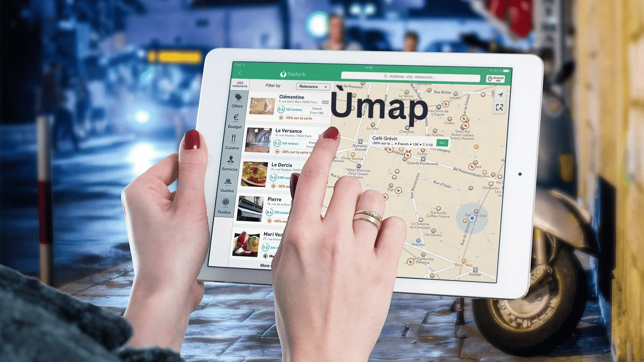
Ùmap emerges as a beacon of innovation and user-centric design in the open-source mapping landscape. Users of all skill levels are empowered to bring their unique visions to life on this groundbreaking platform, which is more than simply a mapping tool. It’s a dynamic, collaborative place where creativity and accuracy collide. Once reserved for highly trained cartographers, the world is now at your fingertips with Ómap, waiting to be personalized, studied, and shared in ways that anybody can accomplish.
Empowering Customization and Collaboration
User-Friendly Cartography Made Simple
The dedication to user-friendliness is central to Ùmap’s design philosophy. There has never been an easier way to navigate the complexities of map-making. If you’re using Ùmap for travel planning, development site earmarking, or conservation area mapping, the interface will gently lead you, letting you concentrate on the creative process instead of the technical details.
Real-Time Collaboration and Sharing
Envision a universe where making maps is more of a group effort than an individual one. Ùmap enables this by providing the ability to edit and share in real-time. There has never been a simpler time to plan a group trip or coordinate a multi-stakeholder urban development initiative. Collaborating on maps becomes not only possible, but also incredibly pleasant, with Ùmap.
Seamless Data Integration at Your Fingertips
Importing Geospatial Data with Ease
When a map is accurate and useful, it becomes a powerful tool. Ùmap can import data in several formats, including geojson, gpx, kml, and osm, and connect well with OpenStreetMap, so your maps will be visually appealing and filled with accurate, current information. Anyone, from experts to casual users, who bases their judgments on up-to-the-minute data will find this capability to be a game-changer.
Customizing with Precision
Ùmap stands out due to its exceptional level of flexibility in addition to its data handling capabilities. Every map you make is an expression of your individuality and purpose, from the layers you choose to the markers, lines, and polygons you use to highlight important features.
Innovative Uses and Applications
Mapping the Future of Urban Development
With Ùmap, urban planners and developers have a strong partner. Incorporating a diverse array of data layers that can emphasize land use and environmental restrictions, the platform’s features allow for extensive project planning in the future, guaranteeing that all decisions are based on a complete picture of the terrain.
Educational Tools for the Next Generation
The ease and depth of Ùmap may be used by teachers and educators to introduce pupils about geography and cartography. Teachers can give students more engaging and informative learning experiences by making interactive maps that show how the world has changed over time, the locations of famous literary works, or historical events.
A Partner in Environmental Conservation
Accurate and current mapping is essential for the success of conservation activities. In order to preserve our planet for years to come, environmentalists can use Ómap’s mapping capabilities to monitor changes, organize projects, and disseminate findings worldwide.
Enhancing Travel Experiences
New possibilities are unlocked for adventurers and tourists using Ùmap. By collaborating on routes, adding landmarks, and exchanging maps with other travelers, trip planning becomes an engaging activity that fosters a spirit of adventure and discovery.
Exploring the Educational Uses of Ùmap
Interactive Classroom Learning
Ùmap elevates static geography classes to dynamic, participatory ones. Educators have the opportunity to design interactive maps that depict historical events, geographical discoveries, or even the locations of well-known novels. Students are motivated to strengthen their analytical and spatial thinking skills through this hands-on approach, which also enhances the learning experience.
Global Awareness and Cultural Education
Teachers can help students develop a more profound respect for and knowledge of many cultures and locations around the world by using Ùmap. The process of mapping cultural monuments, historical places, and varied ecosystems helps students develop a more global perspective and empathy by expanding their understanding of the globe.
Project-Based Learning
Ùmap is a fantastic resource for learning through projects. Data mapping, trend analysis in geography, and environmental problem solving are all possible research topics for students to pursue. Students develop their ability to think critically and solve problems in practical situations through these types of assignments.
Customizing Map Aesthetics on Ùmap
Personalizing Maps with Colors and Icons
A map’s effectiveness and engagement are greatly improved by its aesthetic attractiveness. Users are able to personalize Ùmap maps using a range of colors and icons, allowing for the construction of visually appealing and instructive representations.
Layer Management for Clarity
Making maps that are easy to understand requires careful layer management. Users are able to visually organize data with Ùmap’s layer selection feature, which simplifies the navigation and understanding of complex maps. Layer management is an effective method for bringing attention to certain parts of a city’s growth or distinct areas of the environment.
Enhancing Map Interactivity
One of the main benefits of using Ùmap is its interactivity. People can make maps that are more than simply pictures; they can make maps that people can engage with. Among these features are educational quizzes based on map locations, interactive itineraries that outline travel plans, and clickable sites of interest that disclose further information.
The Future of Open-Source Mapping with Ùmap
Innovation in Geospatial Analysis
New and enhanced capabilities for geospatial analysis are promised by the continuing development of Ùmap. Users should anticipate ever more potent methods of analyzing geographical data, predicting trends, and making educated decisions based on thorough map-based insights as data integration and analysis technologies evolve.
Community-Driven Enhancements
Because it is open-source, Ùmap is constantly being improved by a group of dedicated users and programmers. To keep the platform cutting edge of mapping technology, its collaborative environment encourages the development of new features, tools, and integrations.
Sustainability and Conservation Initiatives
In the future, Ùmap will be an essential tool for conservation and sustainability initiatives all around the globe. Ómap aids in the preservation of natural ecosystems and biodiversity by making it easier to create and share environmental maps, which in turn serves to increase awareness, monitor the progress of conservation efforts, and rally community action.
Also Read: Kingymab: A Complete Review
FAQs
How do I start creating custom maps with Ùmap?
Begin by exploring Ùmap’s user-friendly interface, selecting your preferred map layers, and using tools to add points of interest, lines, or polygons. Ùmap’s intuitive design makes it easy to start your mapping journey.
Can Ùmap integrate with OpenStreetMap for enhanced accuracy?
Yes, Ùmap leverages OpenStreetMap layers, ensuring that your maps are built on a foundation of accurate and comprehensive geospatial data.
What are the best practices for importing geospatial data into Ùmap?
For optimal results, ensure your data is correctly formatted in one of the supported formats (geojson, gpx, kml, osm) and pay attention to the details of your data to make the most of Ùmap’s customization capabilities.
How can I share and publish maps created with Ùmap?
Ùmap facilitates easy sharing through links and embedding options, allowing you to publish your maps on websites, share them in presentations, or collaborate with others in real time.
Are there tips for effective travel planning using Ùmap?
Utilize Ùmap’s custom markers and lines to plot out routes, mark significant locations, and even add personal notes or photos to your maps, making your travel planning as detailed and personalized as you wish.
Conclusion
Ùmap is proof that open-source innovation can make a difference; it has democratized map-making and opened up new avenues for research, analysis, and collaboration. If you’re interested in mapping, whether as a professional, a conservationist, an educator, an urban planner, or just someone who enjoys exploring, Ùmap provides the tools and flexibility you need to make your initiatives a reality. Ùmap can change your perspective, interaction, and sharing of the world’s geography.

Ruby Stauffer is a prominent technology blogger known for her insightful analysis and in-depth reviews of the latest tech trends and gadgets. Her blog has become a go-to resource for tech enthusiasts seeking reliable information and expert opinions on the ever-evolving world of technology.